Advanced aerial LiDAR and photogrammetry services for construction and surveying professionals. Sub-centimeter accuracy, fast turnaround, CAD-ready deliverables.
What We Offer
Comprehensive drone-based LiDAR or photogrammetry solutions tailored for construction and surveying professionals across New England.
High-precision elevation data and contour mapping for construction planning and site analysis.
Accurate volume calculations for earthwork, stockpiles, and material management on active job sites.
Comprehensive documentation of completed structures and infrastructure for record and compliance.
Industry Use Cases
Our LiDAR technology serves diverse construction and surveying needs across New England.
Accurate terrain modeling for optimal construction planning and earthwork calculations.
Track construction progress with regular scanning and volumetric analysis.
Verify construction accuracy against design specifications with precise measurements.
High-precision property boundary determination for licensed surveyors.
Detailed topographic scanning for environmental impact assessments.
Corridor scans for roads, utilities, and pipeline projects.
Our Equipment
State-of-the-art equipment delivering unmatched precision and efficiency on every project.
Real-Time Kinematic (RTK) is a GPS correction technology that delivers centimeter-level positioning accuracy during flight. A fixed ground station — or a network-connected CORS station — continuously monitors satellite signals and transmits live differential corrections to the drone, geotagging every LiDAR point and image with precise real-world coordinates the moment it's captured. The result is survey-grade data without time-consuming post-processing or the need to set up dozens of ground control points across your site.
Our Work
Professional LiDAR scans from recent projects across New England.
With Zenmuse L1 LiDAR payload
Active construction site mapping
Comprehensive aerial mapping
DJI RC Plus with automated mission control
Automated flight path execution
Who We Are
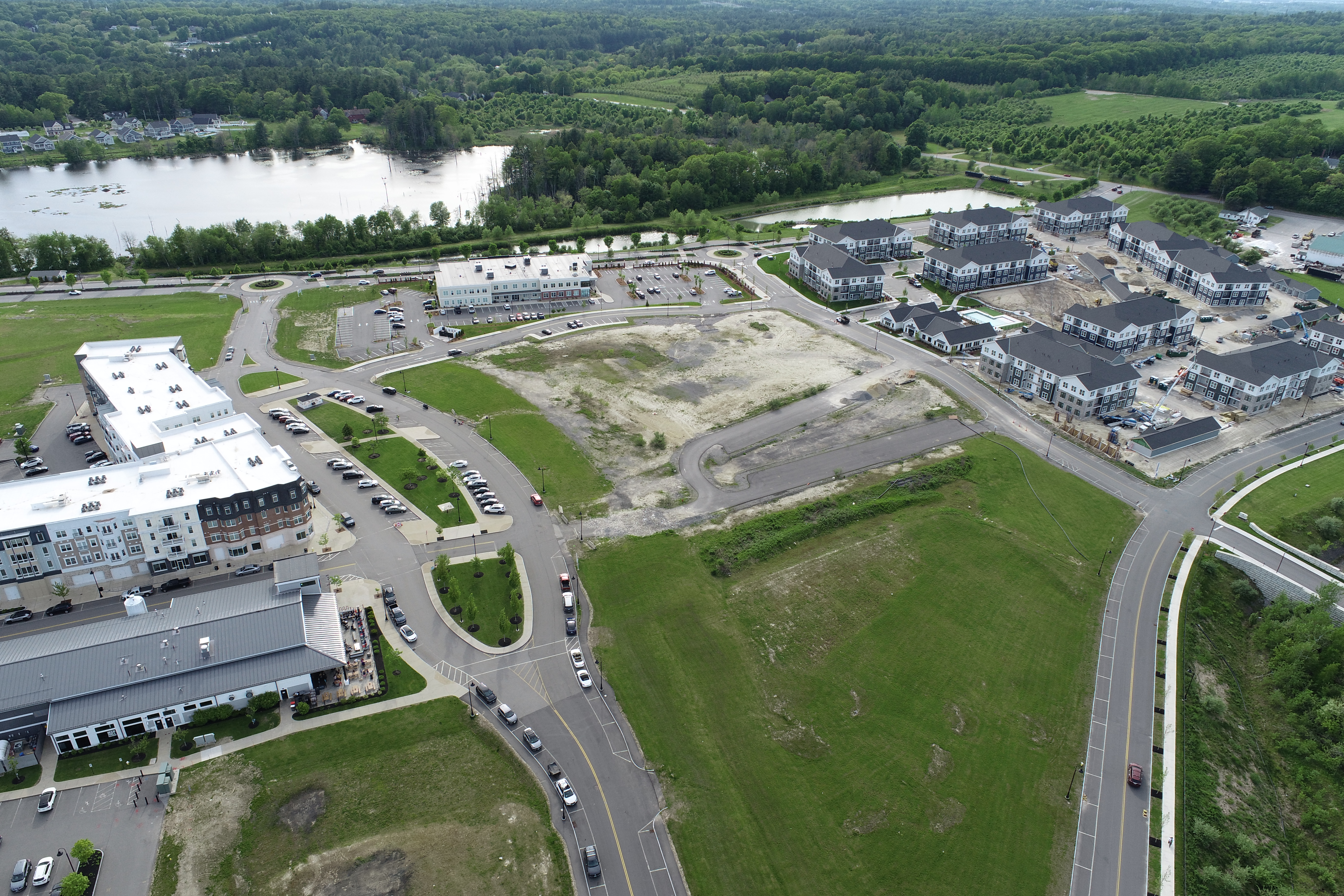
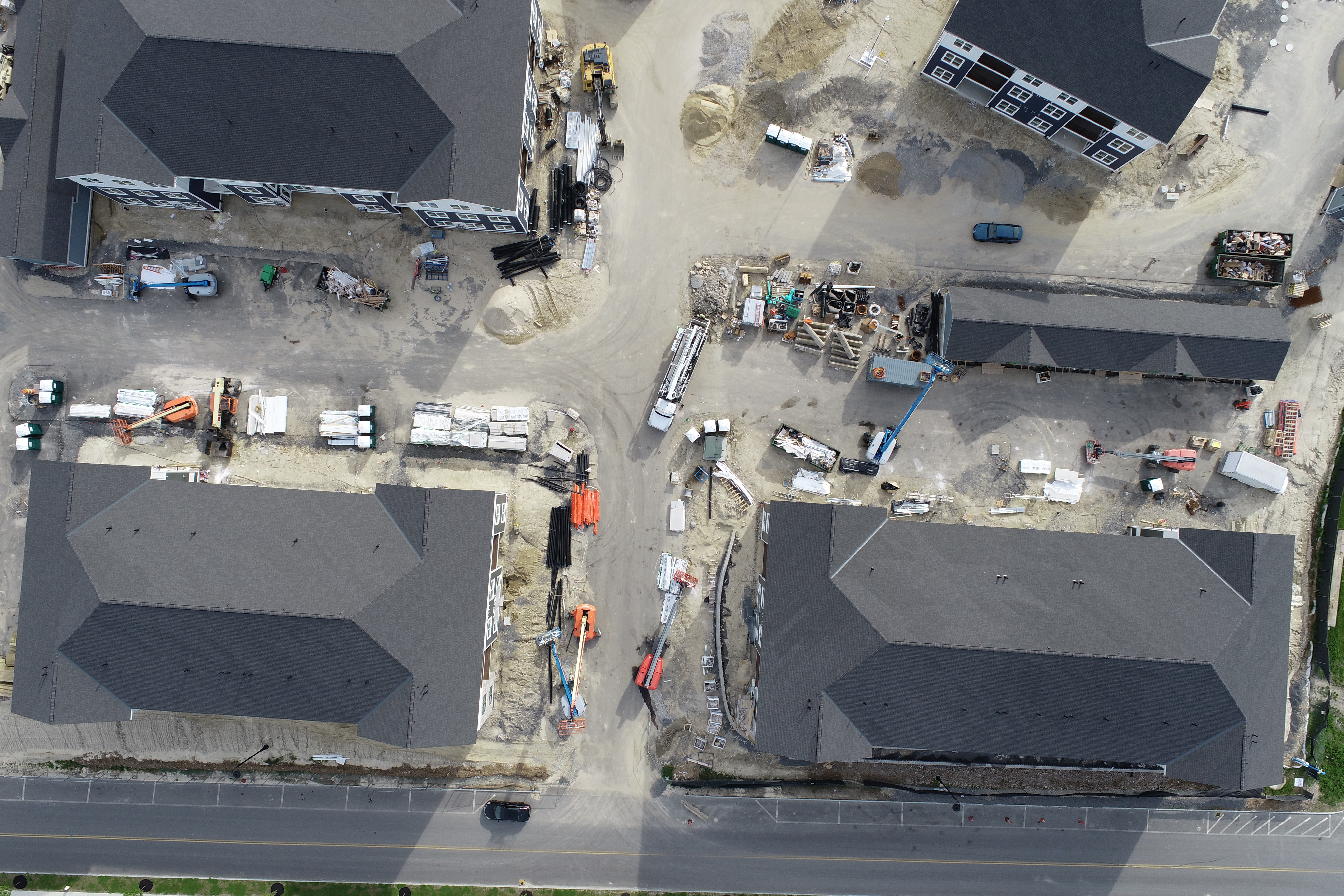
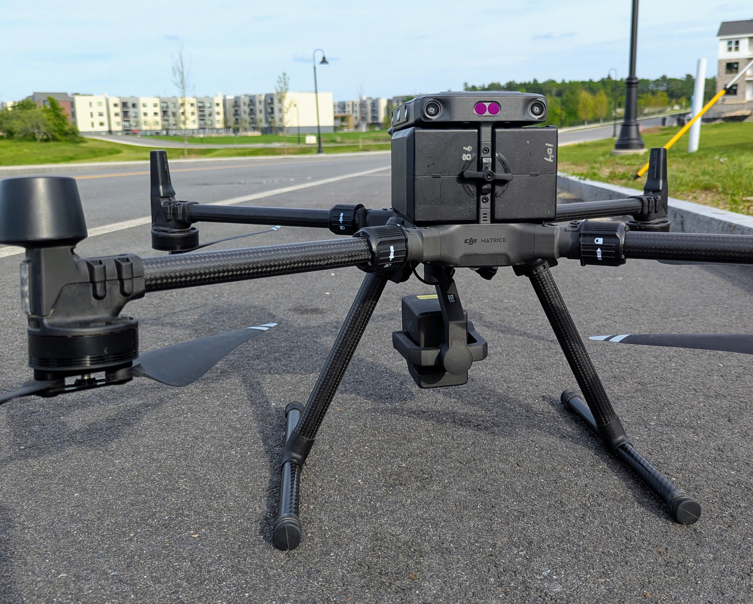
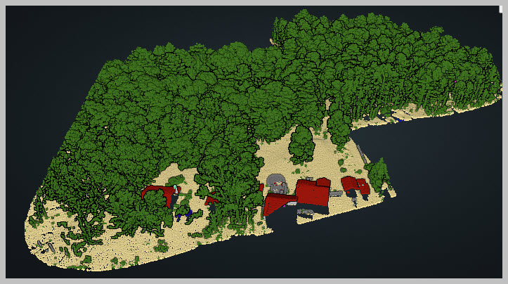
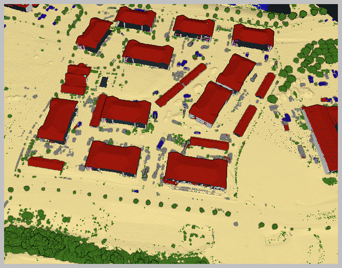
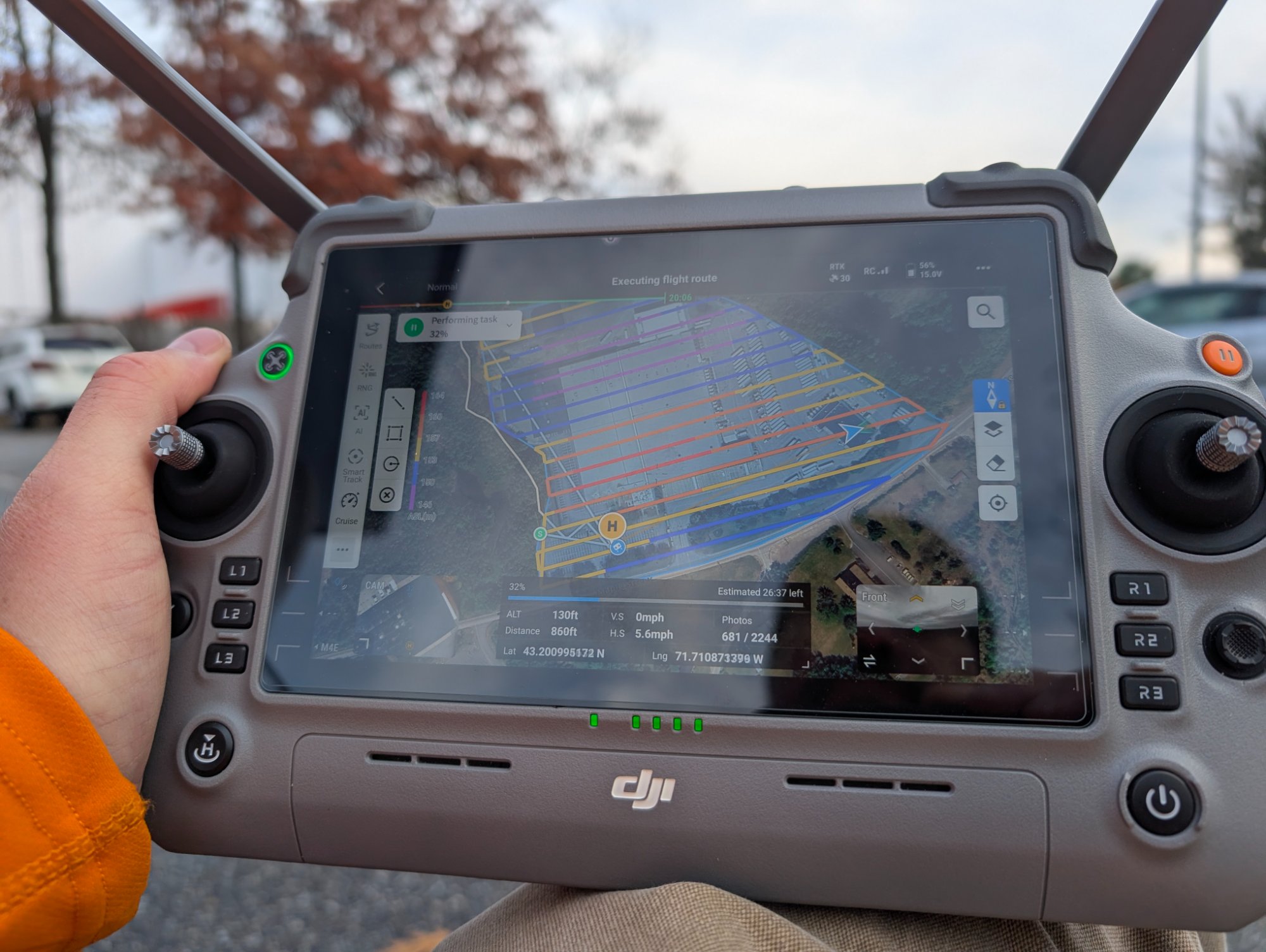
Founded in 2025, Aerial Insights LLC provides precision LiDAR drone scanning services across New England. Our team combines deep LiDAR expertise with cutting-edge aerial technology to deliver unparalleled accuracy and efficiency.
We serve construction companies, surveying firms, engineering consultants, and real estate agencies. Our commitment to accuracy, safety, and innovation makes us the trusted partner for projects ranging from small residential developments to major infrastructure initiatives.
Get Started
Contact us for a consultation and detailed project quote.